Exploring recent weather extremes in the U.S.
After a record warm September, dramatic climate shifts are likely to continue
By Katie Francis
After a record warm September, dramatic climate shifts are likely to continue
Californians are all too familiar with the recent state-wide drought and high temperature extremes of their region. This year has so far been the warmest on record for the state, at an average of 63.7 degrees Fahrenheit, according to the National Climatic Data Center’s September 2014 report. The average temperature in California for past January-September periods on record is 4.1 degrees lower, at 59.6 degrees.
Residents of California were not the only people in the United States enduring extreme temperatures in the past year. Large areas of the Midwest and Eastern United States experienced an unusually cold winter. Both sides of the nation, according to the National Oceanic and Atmospheric Administration, have undergone “extreme” conditions recently — in fact, in no other January-July period on record has the country encountered simultaneous opposing temperature extremes at this scale.
These temperature extremes have been widely attributed to the current phase of the polar jet stream as it makes its way across North America. The jet stream is a high altitude wind current that has been blowing, from west to east, in a strong sideways “S” pattern since last fall. This phase starts with high altitude wind blowing up through Alaska and western Canada, then dipping sharply back down towards the Midwest, followed by another steep curve up through the Eastern United States towards the Atlantic Ocean. Such a pattern creates high pressure in the West, which allows warm air and dry weather to persist, and low pressure in the central states, which causes the region to fill with Arctic air. This pattern of high and low pressure is not entirely unusual, but it has lasted longer than expected, and there are many questions associated with these kinds of shifting weather patterns and climate extremes. Aradhna Tripati and Alex Hall, UCLA professors and climate scientists affiliated with the Institute of the Environment and Sustainability, are attempting to answer some of these questions.
Though both Dr. Tripati and Dr. Hall agree that human-induced climate change could be influencing the jet stream, Dr. Hall maintains that it is “too early in the process to be confidently ascribing the pattern to climate change,” and that natural variation in weather patterns is a more likely cause. Theories on how long this phase might last are similarly undeveloped, but Dr. Tripati notes that the frequency of these “curvy” jet stream phases appears to have been increasing since 1980 — from 1980-2003, there were, on average, two related heat wave events every four years. From 2004-2007 there were three heat wave events, and from 2008-2011, there were five.
Dr. Hall cites the El Niño phenomenon as one force that could alter the current jet stream phase. A strong El Niño could disrupt the phase, as the phenomenon “tends to favor a [weather] pattern different from the one we’ve been seeing.” The National Weather Service’s Climate Prediction Center models show that an El Niño event is likely to occur within the next two months, presenting a possibility that the United States’ extreme weather events may soon be at least partially abated.
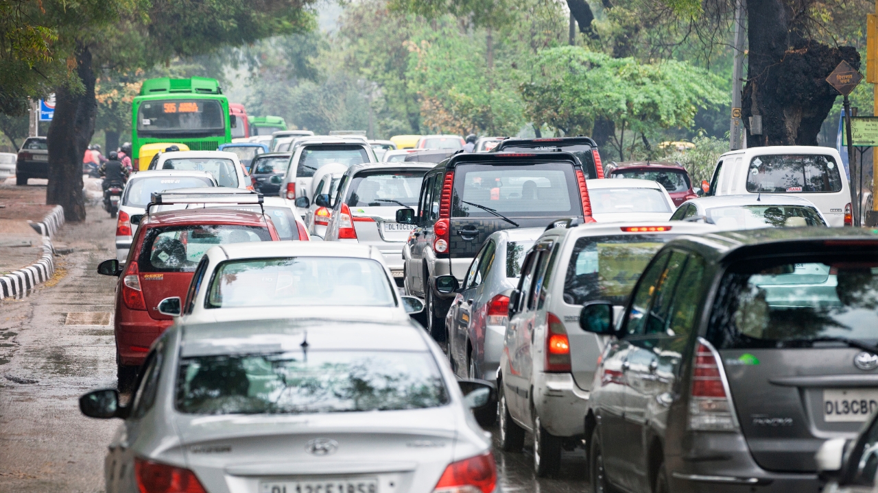
The effects of these recent temperature extremes in the United States have been severe. The western states have experienced exceptional drought conditions and increased wildfires, while the East’s freezing winter prohibited many individuals from being able to go to school or work for days at a time. Though there are currently more questions than answers associated with this weather pattern, many scientists are dedicated to providing the knowledge and understanding of these and related events. The importance of such research, says Dr. Tripati, lies in its “clear relevance to our daily lives” — a statement with which most United States residents would likely agree.